
About Zunheboto District: Zunheboto District, known as the “Land of Warriors,” is located in the heart of Nagaland, India. It is famous for its rich forests, vibrant Sumi Naga culture, and festivals like Tuluni and Ahuna. The land is lush with luxuriant forest, rolling mountains, enchanting valleys and swift flowing streams and rivers making the landscape beautiful. The altitude varies from 1600 meters to 2042 meters. It approximately lies at 25.97° N latitude and 94.52° E longitude.
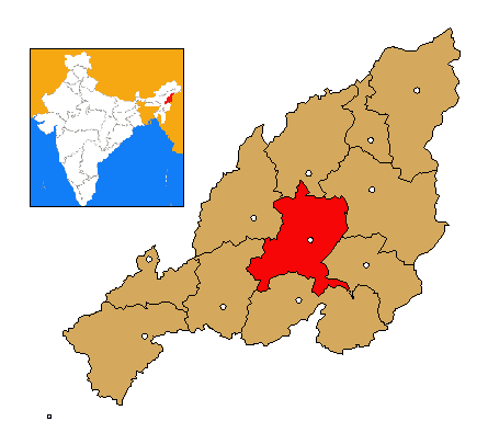
| Area | 1,255 Sq.Km |
| Population | 1,40,757 (Census 2011) |
| Population Density | 112 |
| Average Annual Temperature | 21 Degree |
| Average Elevation | 1816 msl |
| Average Rainfall | 461 mm with 250+ Rainy days |
| Zunheboto Town | 1874 msl |
| Highest Point | Tokiye Village at ~2042 msl |
| Main Rivers | Tizu, Tsutha, Langki and Tapu |
| Climate | Cwa type Climate |
| Density of Population persq.km. | 119 persons (Census 2011) |
| Literacy Rate | 85% (Census 2011) |
Boundaries:
North: Mokokchung
South: Phek
East: Tuensang & Kiphire
West: Kohima & Wokha
Terrain: Entirely mountainous, covered with dense forests.
Altitude: Zunheboto town lies at 1,874 m above sea level.
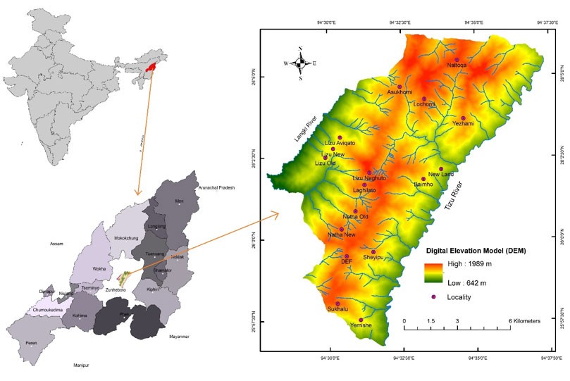
Headquarters: Zunheboto Town, about 150 km from Kohima (State capital).
Recognized Villages: 167.
Administrative Offices: Deputy Commissioner’s Office at Zünheboto
Additional Deputy Commissioner’s Offices at Pughoboto & Aghunato
Sub-Divisional Offices at Satakha, Akuluto, Atoizu, Suruhuto
Major Crops: Rice, maize, millet, colocasia, yam, soybean.
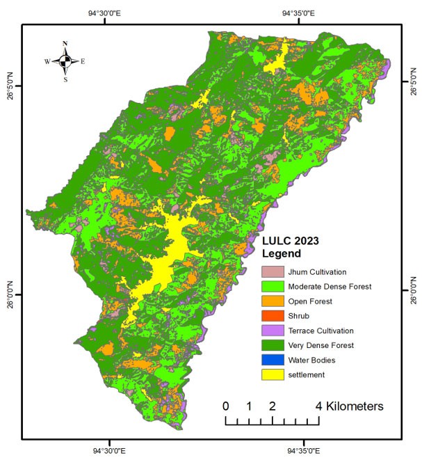
Agriculture remains the backbone of the district economy, with shifting cultivation (jhum) still practiced.
Click here to learn more about Zunheboto District
Zunheboto Forest Division
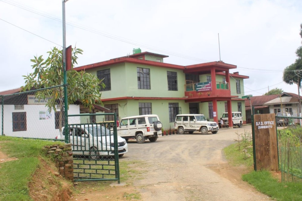
The Zunheboto Forest Division in Nagaland was established in the financial year 1983-84. It operates under the Department of Environment, Forests & Climate Change, Government of Nagaland, focusing on forest administration, conservation, and management within the Zunheboto district, which was created as a separate district on December 19, 1973. It functions under the Northern Territorial Circle (NTC) of the department. It has the following Forest Ranges and Forest Beats.
| Forest Ranges | Forest Beats |
| 1. Zunheboto Range | 1. Aghunato Beat |
| 2. Suruhuto Range | 2. Atoizu Beat |
| 3. Satakha Range | 3. V.K Beat |
| 4. Akuluto Range | |
| 5. Pughoboto Range |
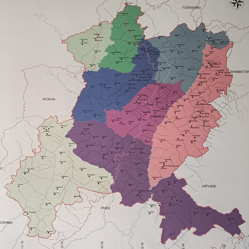

The Zunheboto Forest Division is more than an administrative unit—it is a bridge between policy and community-led conservation, ensuring that biodiversity protection aligns with cultural values and sustainable development. Its initiatives, especially digital outreach and eco-tourism promotion, reflect Nagaland’s evolving approach to forest governance.